

Before any excavation, construction, landscaping, drainage upgrade, or civil works begin, understanding what is below the surface is critical.
Every day, Geoscan helps clients across Victoria reduce underground risk on projects ranging from:
- residential landscaping and pool installations
- schools and universities
- hospitals
- commercial developments
- road upgrades
- drainage investigations
- major infrastructure works
Unknown underground services can cause:
- costly utility strikes
- project delays
- redesigns
- drainage failures
- safety risks
- unexpected excavation costs
That’s why accurate underground utility locating and survey mapping has become an essential part of modern construction and design workflows.
Why Existing Utility Plans Are Often Inaccurate
Many underground assets are either:
- undocumented
- incorrectly mapped
- abandoned
- relocated over time
- missing critical depth information
Dial Before You Dig (DBYD) records are an important starting point, but they should never be relied on as the sole source of underground information.
Geoscan uses advanced utility locating equipment, Ground Penetrating Radar (GPR), drainage investigations, CCTV inspections, and survey-grade mapping to help contractors, engineers, and project managers better understand underground conditions before work begins.
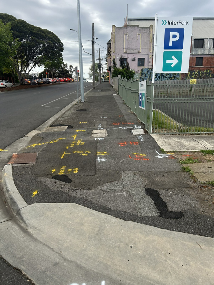
Survey-Grade Utility Mapping for Engineering and Design
At Geoscan, we don’t just locate underground services — we accurately survey and map them.
Our experienced utility surveyors capture:
- MGA2020 coordinates
- Australian Height Datum (AHD)
- invert levels (Invert RLs)
- pipe sizes and materials
- pit locations
- service depths
- asset ownership details
All utility data is tied into Permanent Survey Marks (PSMs), allowing information to integrate seamlessly with:
- GIS platforms
- engineering design packages
- civil CAD drawings
- machine control systems
- existing survey datasets
This gives engineers and designers reliable spatial data they can confidently use for planning and construction.
Drainage & Sewer Investigations
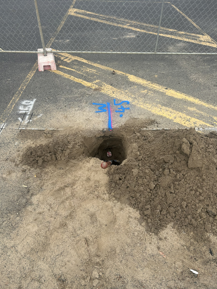
Geoscan regularly carries out detailed drainage investigation surveys for councils, engineers, schools, hospitals, and commercial developments.
Understanding drainage infrastructure involves far more than locating pits and pipes.
Our drainage investigations can include:
- CCTV drain inspections
- invert RL surveys
- stormwater mapping
- sewer investigations
- blockage and backflow investigations
- tree root intrusion detection
- crack and defect identification
- flow direction confirmation
Using CCTV inspections alongside survey-grade utility mapping allows Geoscan to identify issues such as:
- cracked pipes
- collapsed sections
- root intrusion
- poor drainage flow
- hidden connections
- backflow locations
- illegal cross-connections
This information is critical for stormwater network design, hydraulic assessments, drainage upgrades, and infrastructure planning.
Ground Penetrating Radar (GPR) for Subsurface Investigation
Geoscan specialises in Ground Penetrating Radar (GPR) investigations across Victoria.
GPR helps identify:
- non-conductive underground services
- buried conduits
- underground tanks
- stormwater infrastructure
- voids and anomalies
- reinforced concrete
- subsurface changes
For complex sites such as hospitals, schools, universities, and live construction environments, GPR provides an additional layer of subsurface intelligence that helps reduce excavation risk and improve project confidence.
Trusted Utility Locating Across Victoria
Geoscan provides professional:
- utility locating
- GPR scanning
- underground service locating
- CCTV drain inspections
- drainage investigations
- utility surveying
- GIS utility mapping
- stormwater and sewer investigations
From small residential projects through to major infrastructure works, Geoscan helps clients plan safer, reduce risk, and make informed construction and design decisions with confidence.