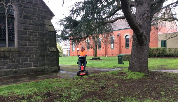
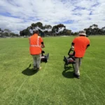
Are you planning to conduct excavation or digging anytime sooner? Need to locate and map the underground utilities like gas, electricity, water lines or underground storage tanks? You definitely need to hire professional utility location services specialist. But, before hiring one, it’s wise to know about the technology used for underground utility locating and their potential and there possible limitations. One of the most essential equipment that has revolutionised the underground utility locating industry is ‘Ground Penetrating Radar’ – GPR.
As compared to all utility location equipment, it is one of the most accurate technologies used to map the utilities beneath the ground. It has proven to be very beneficial in conducting safe excavation and avoid severe damage to underground utilities and resources. However, certain unavoidable elements can have an effect on their accuracy. Thus, it becomes crucial to cohttps://www.geoscan.com.au/blog/important-tips-for-working-safely-near-underground-assetsnsider these factors to ensure that you get consistent results.
Let’s look into further, to gain a better insight:
- The Soil
Soil density conditions of soil can cause depth reading limitations with the GPR (Ground Penetrating Radar). For example, Clay soil composite, particularly retaining a lot of moisture, can restrict GPR depth imaging. And lighter soil composite, such as sandy soils, Can produce much deeper GPR depth imaging results. - Technology Limitations
Ground Penetrating Radar technology can locate metallic pipes and non-metallic utilities and all types of structures, for example Plastic/PVC, concrete, bricks, rocks, fiberglass material, including voids, or other ground profile issues, that arise. - Radar Frequency
High frequency releases smaller radar antenna distribution output and thus it works best for shallower and tighter areas. While on the other side, lower frequency releases larger radar and is best for larger objects and deeper penetrations.We use combination shallow and deeper GPR antennas, when operating a ground profile scan in the field, to give us a larger prospective of overall scanning results. As the same in underground utility locating and depending on the project request involved.We use GPR with lower frequencies and higher frequencies combinations. GPR Antenna and the range outputs, play a crucial role while dealing with any of the above-mentioned factors.
Conclusion:
Above mentioned are the main factors that play an essential role in obtaining accurate and precise GPR data information.
When you are after utility location services and aren’t much aware of the GPR technology, it is wise to contact a specialist underground service locator technician, accredited and licensed through Dial Before You Dig Accreditation process . But also check, that they have, experience with GPR equipment and its capabilities, whether they are an GPR technician, because not all accredited underground service locators, have the skills and capabilities to operate and read GPR data.
As with dial before you dig accreditation, only deals with the process of accrediting persons with underground pipe and cable location equipment only (cable locators).

