by Geoscan | May 1, 2022 | All, Utility Location
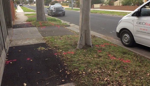
Warmer weather is the perfect time for outdoor work! Every year, many homeowners and contractors work towards property improvement or excavation projects. But do you know 40% of them risk hitting an underground utility while they are digging? Damaging a utility line...
by Geoscan | Jan 17, 2022 | All, Utility Location
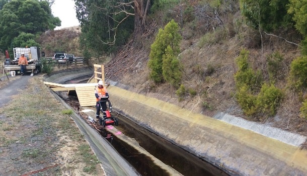
Everyone will agree to the fact that it is a huge deal working near underground utility infrastructure. The complexities related to underground utility locating and performing excavation is gaining more and more traction every day due to the financial and safety...
by Geoscan | Dec 22, 2021 | All, Utility Location
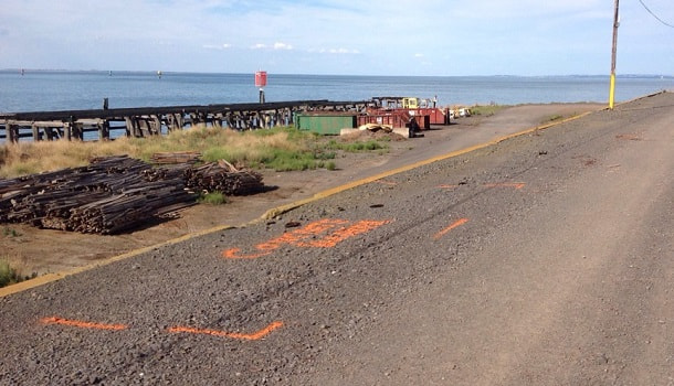
In 2020, when the pandemic hit – every industry suffered including the utility location industry. With an increasing need to enable remote work, many underground utility mapping companies drastically invested in the technologies to ensure that all the workers are...
by Geoscan | Aug 17, 2021 | All, Utility Location
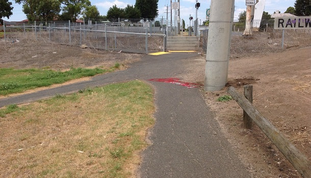
Underground utility locating is a job that brings many occupational hazards alone. Challenges don’t only include working with heavy equipment but also working in a dangerous environment, from tunnelling depths or towering heights. Conducting a simple survey will...
by Geoscan | Mar 18, 2021 | All, Utility Location
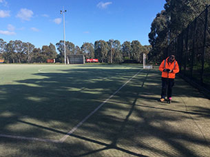
In recent years, there’s an unexpected rise in the frequency of the natural disaster. This is where Hazard Mapping, comes to rescue by helping to locate natural hazard along with their physical relationship to people. Earlier hazard mapping was used to model...